Katchment helps children's activity providers find schools, nurseries, and care homes in their area, build franchise territories, and manage their sales pipeline — all from an interactive map.
Built for sports clubs, STEM workshops, dance schools, music teachers, holiday camps, and anyone delivering activities to kids.
See where the opportunities are, divide your market into territories, and track your outreach — without spreadsheets.
40,000+ venues mapped from official UK data (GIAS, Ofsted, CQC). Filter by type, phase, rating, and more. See exactly what's in your area.
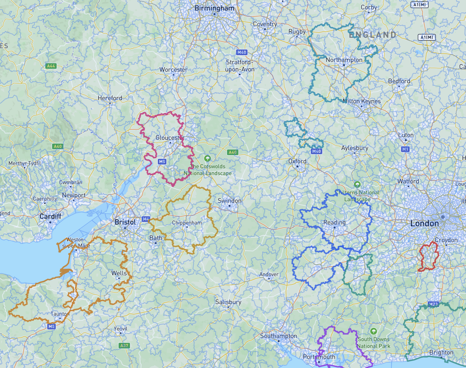
Click postcode sectors to build contiguous territories. See school and population counts in real time. Assign territories to franchisees.
Overlay Census 2021 data — child population, deprivation, household types — to find the areas with the most demand for your activities.
Star venues you want to approach. Track them through your pipeline from lead to customer, all tied to the territory they're in.
Search for email addresses on venue websites automatically. AI identifies roles — so you know who the head teacher is vs. the office email.
Create companies, assign territories, invite your team. Admins see everything, franchisees see their patch. Import territories from CSV.
Stop guessing which schools to approach. See every venue in your area, understand the demographics, and build your pipeline.
Request Access